


Through to the West Coast
7 days of cycling, 501 kilometres travelled and 5,291 metres climbed (so far)

Seven days of cycling and we’ve made it to Greymouth.
Since my last post from Tapawera, we’ve had a couple of days cycling through remote valleys on mostly gravel roads, one day cycling on the scenic highway 7 with virtually no shoulder but only light traffic, and a relatively gentle day cycling along quiet rural roads.
There's been lots of native forest, lots of rivers, one lake, several saddles to climb and mountain views all around. We really feel like we are getting away from it all now.
Tapawera to Murchison
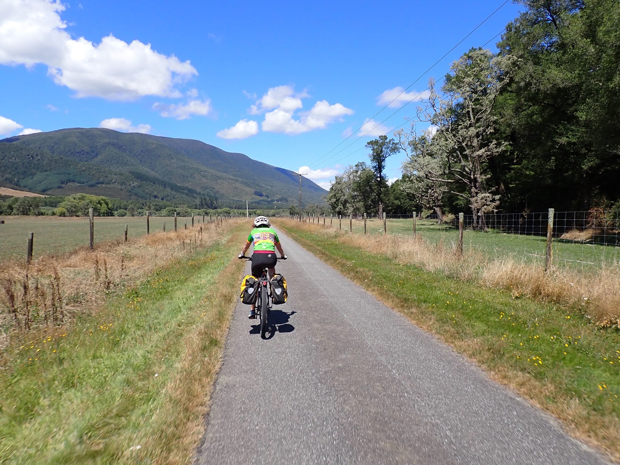
The route from Tapawera to Murchison is a Heartland ride, which means it’s a scenic route on quiet country roads (rather than a separate cycle path like most of New Zealand’s Great Rides).
We started our ride by cycling through the Tadmor valley. The road was sealed initially and took us through farmland - cycling past a mix of hops, corn, sheep and dairy farms.
Later, it became a narrow gravel road that gradually climbed up through pine forest and over a low saddle. We had the road to ourselves for most of way and it was the first time we had the sense of being in the middle of nowhere (which we love).
At the end of the road, we had to join the highway for about 20 kilometres but there was plenty of shoulder and we had a wonderful sweeping descent down to Kawatiri Junction and the turn-off to Lake Rotoroa.
We took a short break at the junction and were joined by a cyclist from Auckland who had started making his way down the Tour Aotearoa route on his commuter bike before realizing he didn't really have the gearing (or tyres) to cope with the off-road sections. But he wasn't deterred, opting instead to make his own route cycling along sealed roads. He was travelling on a tight $20 a day budget, freedom camping wherever he could, and at one point sharing his tent site with a wild pig that settled down beside him (snoring) for the night.
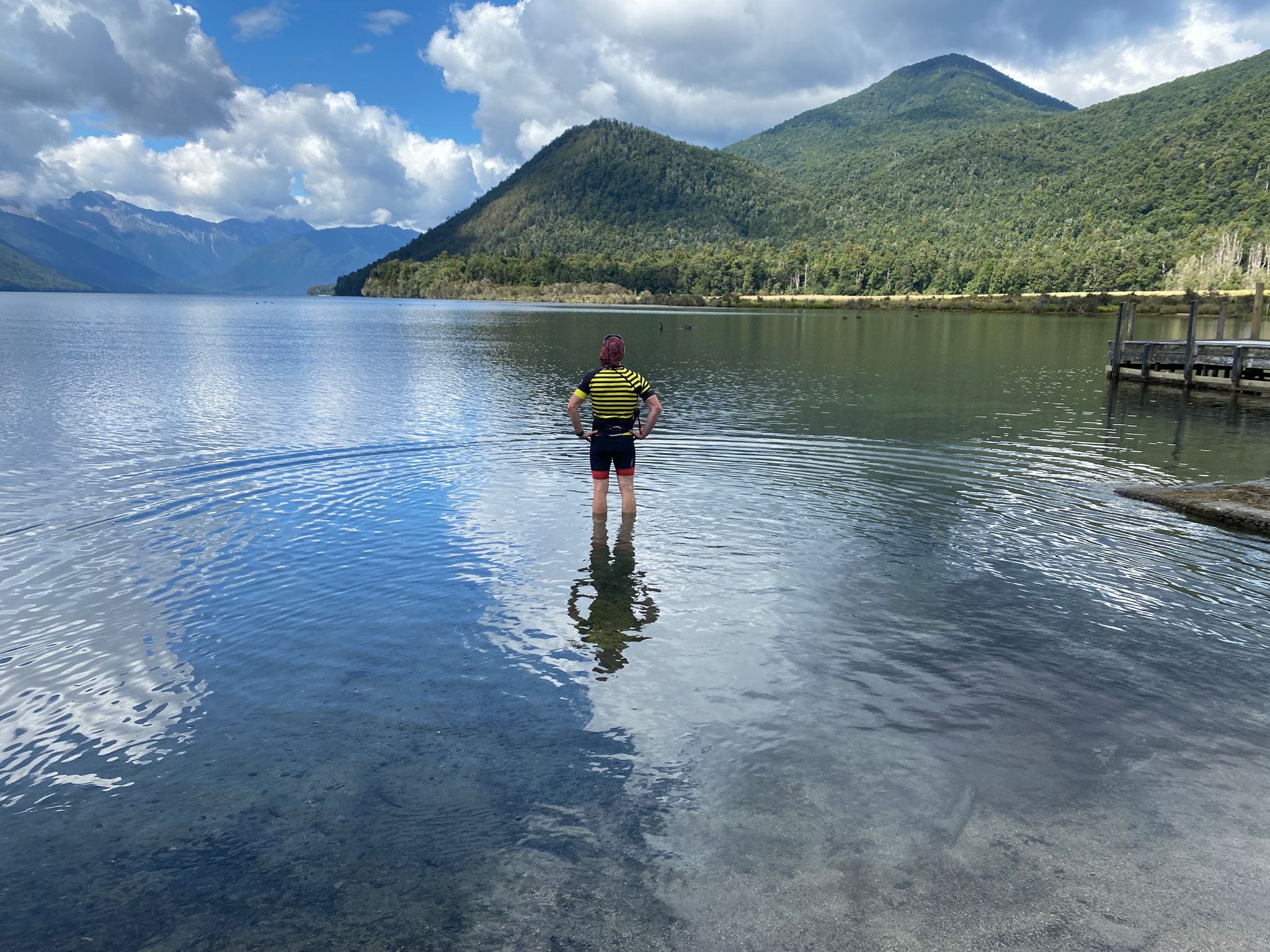
Lake Rotoroa is the less developed of the two main Nelson lakes, so there was little traffic on the road and just a few campervans in the car park when we arrived. It's a beautiful spot and the lake was warm. Chris waded in for the obligatory photo shot but we didn't swim, and the voracious sandflies meant weren’t keen to hang around too long. A short lunch break and a chat with another cyclist and we were off.
From there, it was on to the Braeburn track, back on gravel and up and over a very steep saddle, which had us reaching for our lowest gears. Another sweeping descent (perhaps a bit faster than I like on bumpy gravel) and then on through Mangles Valley (on another quiet gravel road), joining the highway again for the last few kilometres into Murchison.
It was our longest cycling day this week (96 kilometres), and a good challenge. We arrived in Murchison hot and thirsty, but in pretty good shape.
Murchison to Springs Junction
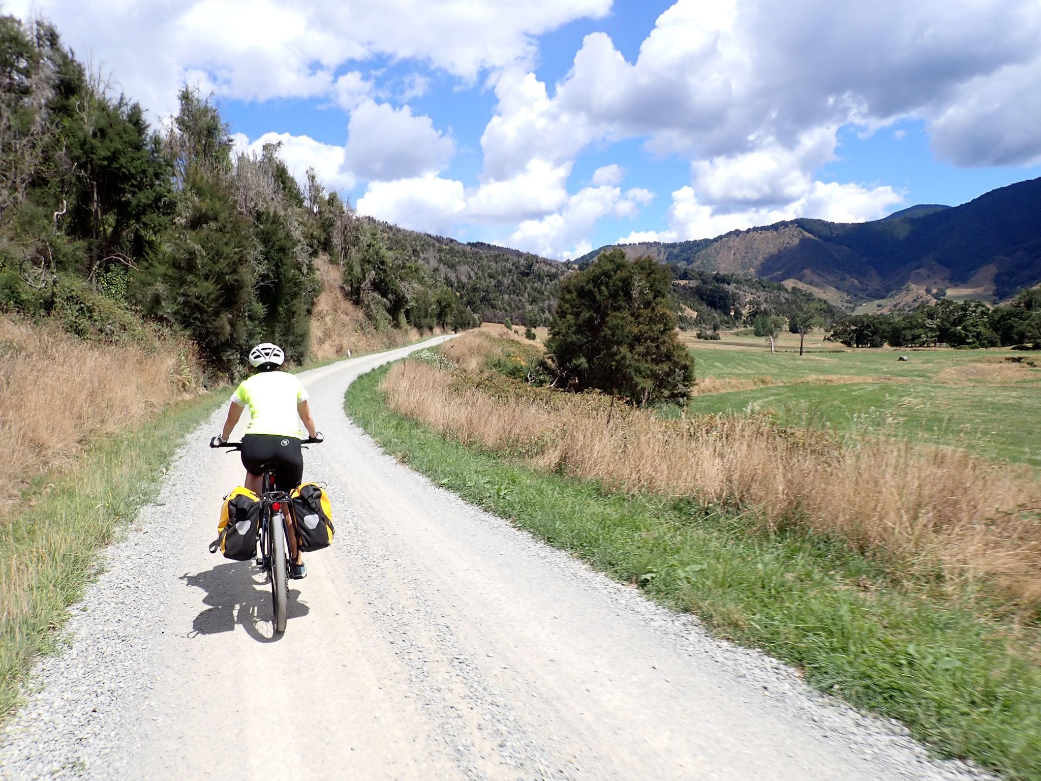
The next day's ride was shorter (81 kilometres) but probably more tiring as we were riding uphill for most of the day. Again, we were cycling on quiet gravel roads with a few sections of state highway to help link them up.
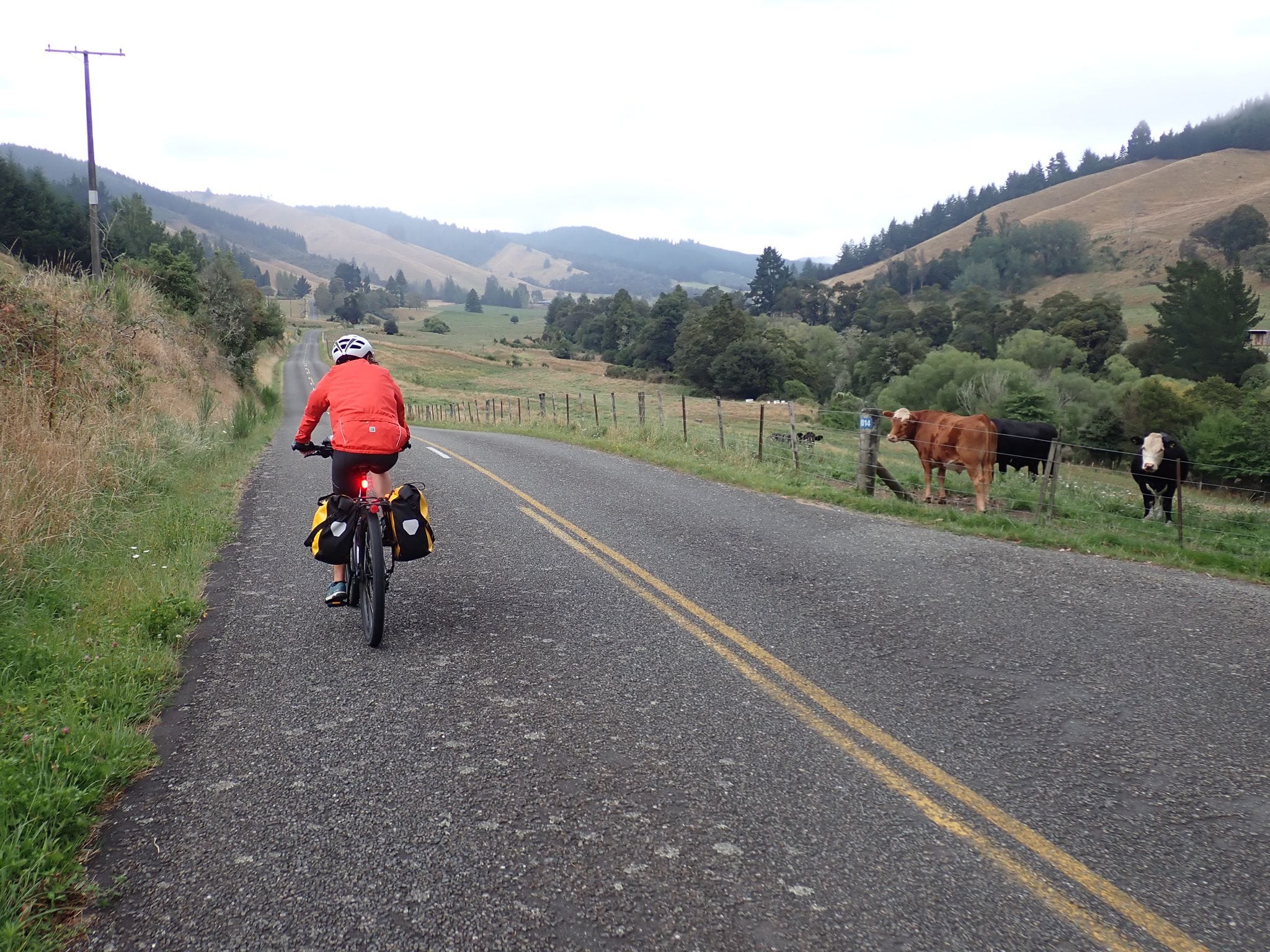
The first gravel road took us south along the Matakitaki River. While quiet, we did encounter a few vehicles on the road, and we were relieved that we had pulled over for a water break when a milk tanker came flying through.
The highlight of the day’s ride turned out to be a section I was dreading - a seven kilometre climb over the Maruia saddle. After the Matakitaki road, we turned into a narrow four wheel drive road, which took us up and over the saddle through beautiful beech forest. It was a hot day so we enjoyed the shade, and the slow build up meant the gradient was never too steep for us to manage. Six (shallow) stream crossings helped keep things interesting too.
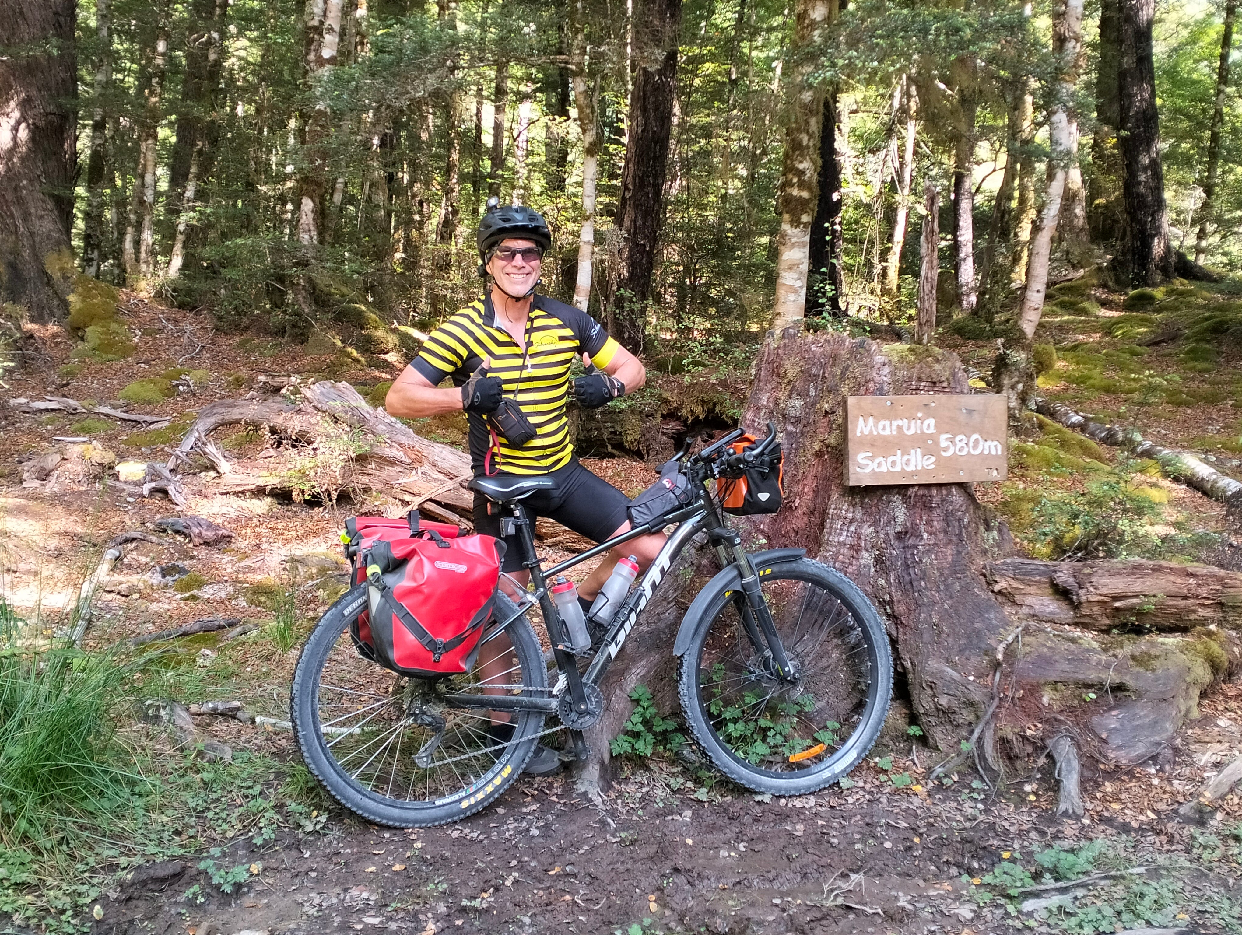
The road was pretty narrow and bumpy and signage clearly indicated it wasn't suitable for heavy vehicles so we were pretty confident we were the only ones on the road. Until a Fulton Hogan [a roading contractor] vehicle came roaring through at high speed. Again, it was lucky that we happened to be taking a break at the saddle (off the road) at the time, but another cyclist later told us he got a big fright when it came up behind him on his descent.
This day’s 20 kilometre highway stretch was less enjoyable than the previous day’s as there was little shoulder, a few more cars (although still not many) and we were mostly going uphill. We were happy to turn off again to cycle yet another quiet back road (partially sealed, mostly gravel) almost all the way to Springs Junction.
There isn't really anything at Springs Junction other than a couple of petrol stations (one with a small but busy shop) and a few houses. So, the cyclist we’d met the previous day at Lake Rotoroa was very happy to see us.
He’d had a malfunction with his bike pump (somehow caused by helping another cyclist), which then meant he couldn't pump his own tyre up when he needed it. He had another 44 kilometres to cycle to the next town so we lent him Chris’ pump, arranging to get it back the next day, and carried on to a quiet farm motel, where we got our best sleep yet.
Springs Junction to Ikamatua
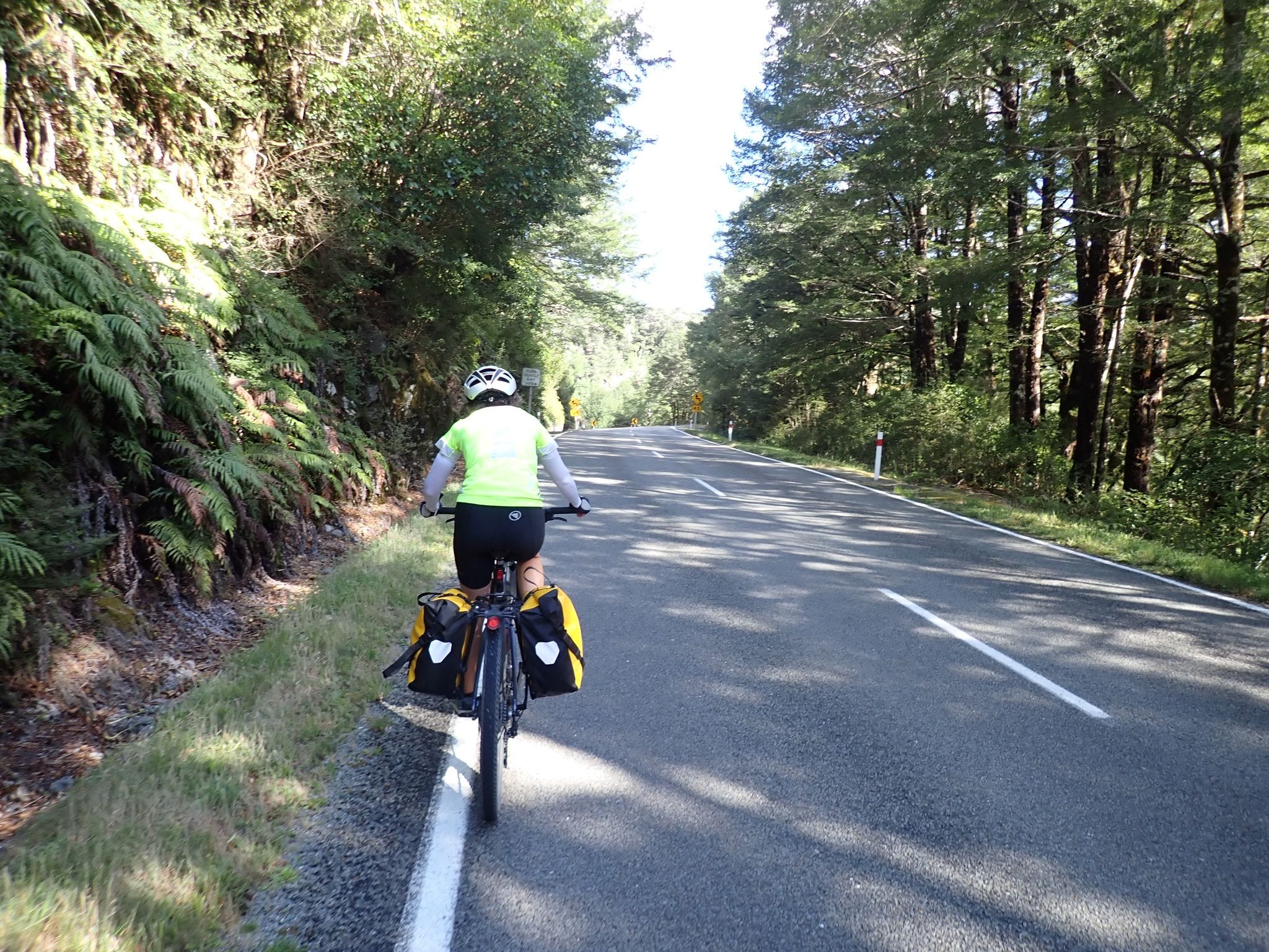
We expected our ride from Springs Junction to Ikamatua (74 kilometres) to be fairly quick and easy because the route is sealed the whole way, and predominantly downhill. And we knew we wouldn't want to muck around on the main highway. But we still had a saddle (and some other hills) to climb and then the wind came up, so we ended up getting a decent workout.
We climbed the Rahu saddle early in our ride, and then had a wonderful long and freewheeling descent winding through native forest by a river. We had to cycle in the car lane (as far left as we safely could) as the shoulder was mostly non-existent for much of the ride. But the traffic was fairly light and drivers gave us a wide berth when passing.
So far, we have found drivers to be very considerate and we’ve had friendly toots and waves from some (generally oncoming cars and passing motorbikes).
We took our lunch break at Reefton, which is a very cute town that has embraced it’s old buildings and mining history, and seems to be thriving with lots of small galleries, cafes and curio shops. Then it was back on the road to face the wind to Ikamatua.

Keen mountain bikers would instead take a steep four wheel drive track up through native bush and an old mining area (Big River). Like Maungatapu (which we detoured pass on our way to Nelson), it's grade 4 (advanced) mountain biking and not suitable for folk like us toting panniers. So it was an easy decision to take the main road to Ikamatua instead. (Later, one cyclist said it took him six hours to cycle the track, and we heard someone else took nine hours to get through.)
Ikamatua is a really small settlement and there's not much going on beyond the local pub. It wasn't the most salubrious place to stay the night but it gave us a chance to rest before moving on to Greymouth (and get Chris' bike pump back).
Ikamatua to Greymouth
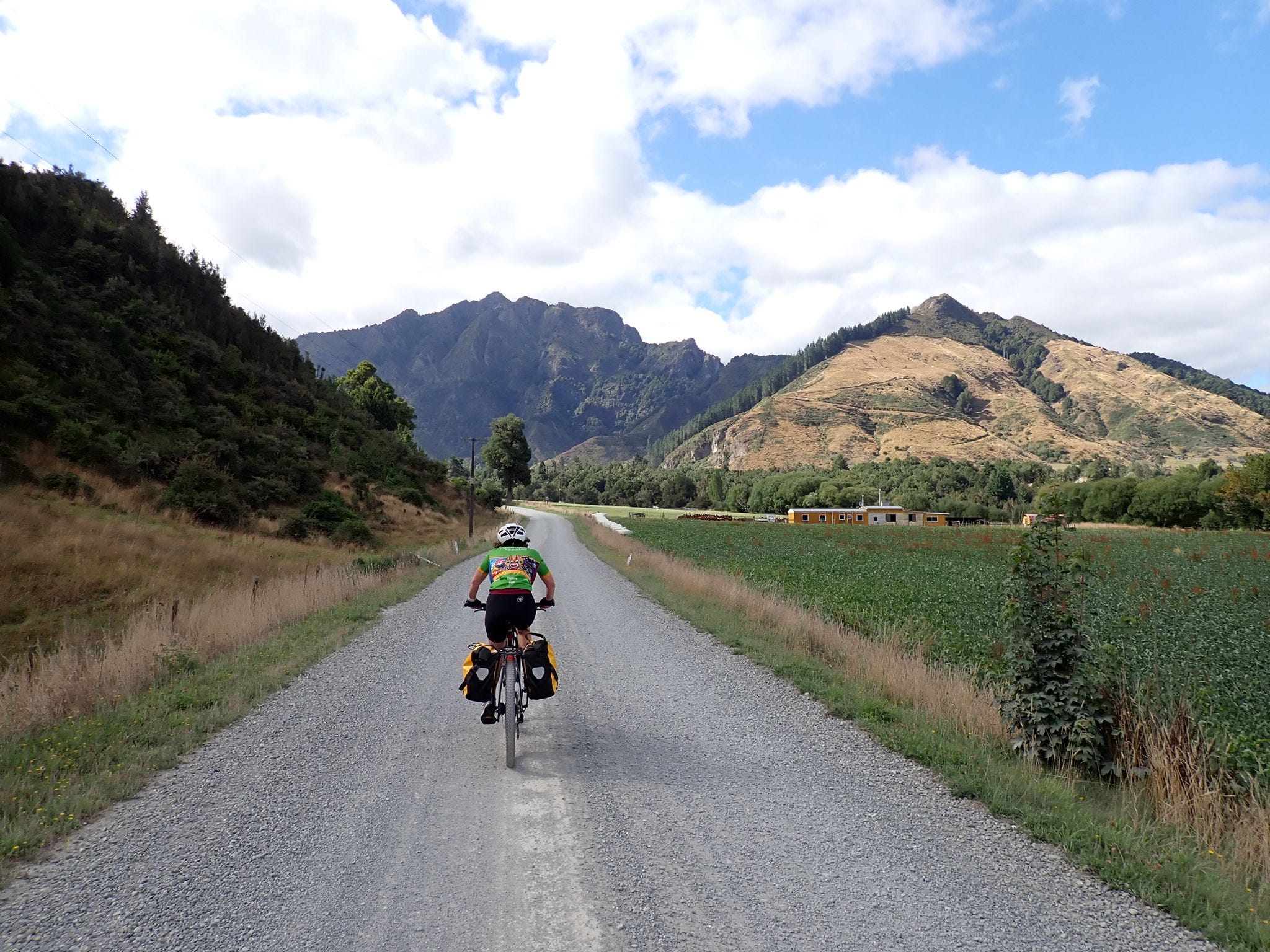
We only had 54 kilometres to cycle to Greymouth. It was a beautiful sunny morning, and we enjoyed big views up on a plateau of golden fields above the river, with big mountains all around us. Magic.
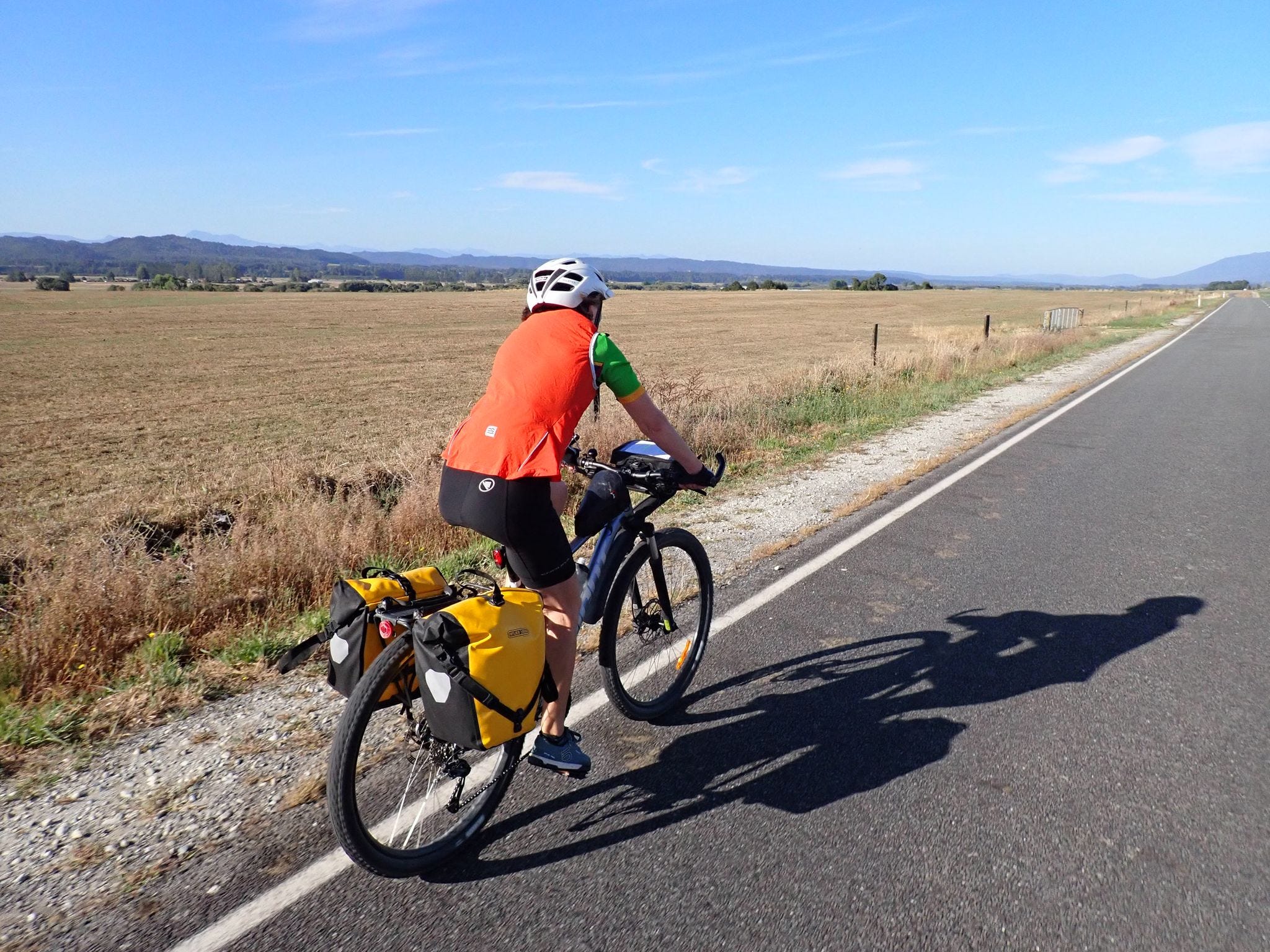
The route took us on quiet sealed roads on the other side of the river from the main highway heading to Greymouth. That made for comparatively easy and relaxing cycling - although we still seemed to do plenty of climbing.
En route we stopped at the Pike River Memorial to pay our respects to the 29 miners who died following a methane explosion in the Pike River coal mine in 2010. In the years since, there's been a Royal Commission of Inquiry, investigations by Police and health and safety authorities, and an attempt to re-enter the mine, but the bodies have never been recovered.
We also visited Blackball, another wee town with a long mining history. It's a short detour off the road (up a hill!) but worth making the effort to visit. We made a coffee stop and learned the former owner of the establishment is currently taking two months to do her own Tour Aotearoa from Cape Reinga to Bluff - aged 79, on a standard mountain bike!
Farmland gave way to native bush for the rest of the ride into Greymouth. We enjoyed a great outlook while swooping up and down the winding road above the river. The only downside was joining a busier highway from the north for the final few kilometres into town.

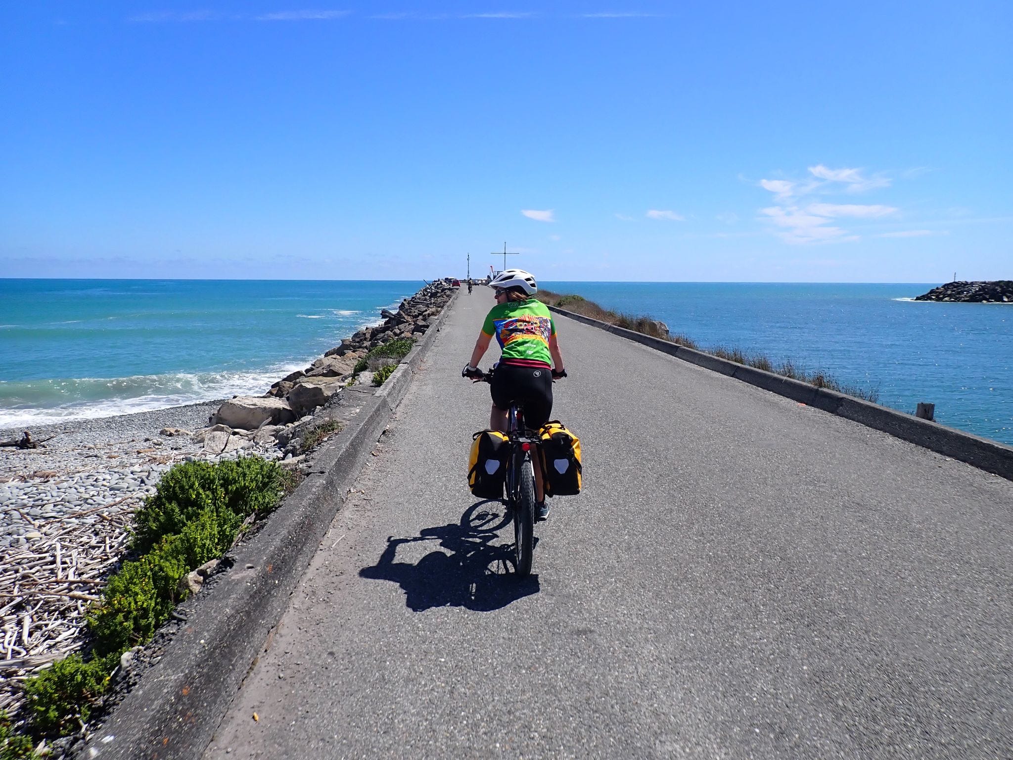
Because we arrived in good time, we decided to cycle the first few kilometres of the West Coast Wilderness Trail around the river mouth and port (which is part of our next ride) on the way to our accommodation. As a bonus, we got to see a small pod of hector's dolphins.
Now we take a day’s rest before carrying on down the West Coast, through glacier country, over the Haast Pass (gulp) and on to Wanaka.
You are eating up the miles! Great to read about it.
Loving your blog. Sounds amazing and the pics are awesome. You definitely deserved the pancakes (& more!). Those arm warmers look familiar 😘.
Greymouth is further than I imagined (my NZ geography obviously not that great).
You reminded me of some of the gravel roads we took on NI. Chunky loose gravel - not fun! I hope the gravel is kinder on SI Awesome planning. You guys are smashing it. Amazing (I’m a little bit jealous). Have fun xxx